General Discussion
Related: Editorials & Other Articles, Issue Forums, Alliance Forums, Region ForumsFire on Mt. Diablo in the East Bay Area. **Update with current photos**
Last edited Mon Sep 9, 2013, 06:44 PM - Edit history (2)
Update: Over 1500 acres now. More at link below.
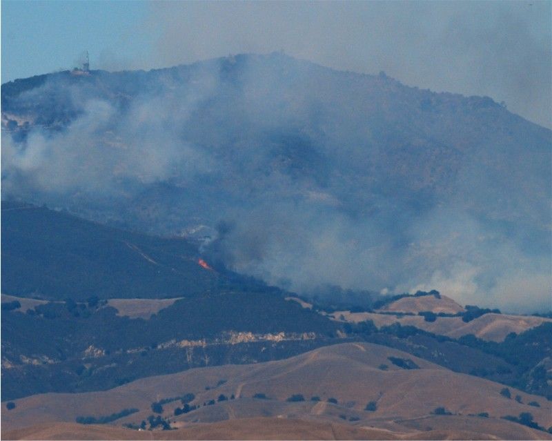
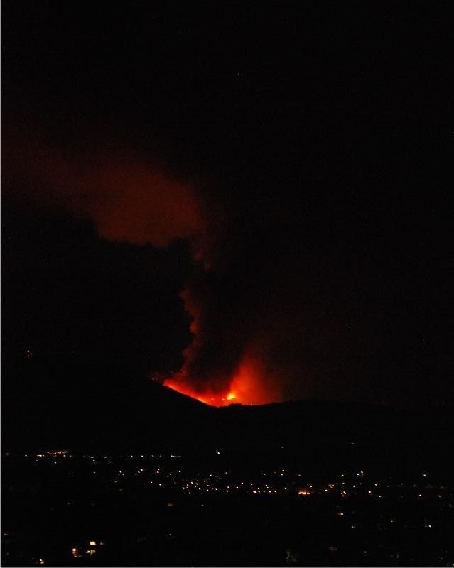
I'm about 20 miles due south of the mountain, and took these photos about 30 mins ago. They're saying only about 10% contained at this time.
Here's a link to more info at SF Gate: http://www.sfgate.com/bayarea/article/Mt-Diablo-fire-burns-residents-nervous-flee-4797249.php
 = new reply since forum marked as read
Highlight:
NoneDon't highlight anything
5 newestHighlight 5 most recent replies
= new reply since forum marked as read
Highlight:
NoneDon't highlight anything
5 newestHighlight 5 most recent replies

CaliforniaPeggy
(149,660 posts)Wow, these are spectacular pictures. And scary too...
You did a great job!
Stay safe, please...


bluesbassman
(19,378 posts)Everybody has been evacuated safely to the library in Clayton. Just praying CalFire can get a handle on it quickly. 
CaliforniaPeggy
(149,660 posts)Everything is so dry...

Control-Z
(15,682 posts)I'm hoping that wasn't just my local area and that the weather continues on a cooling trend up there as well.
Amazing pics! But please, please, stay safe.

alittlelark
(18,890 posts)...at 1st I thought it was Diablo Nuclear Plant they were discussing!! Amazing that a 'grass fire' can cause such havoc.
bluesbassman
(19,378 posts)A wildfire would be pretty serious there, but earthquakes are even more scary. Damn thing was built right on the San Andreas fault line and there's a second a couple miles off shore.
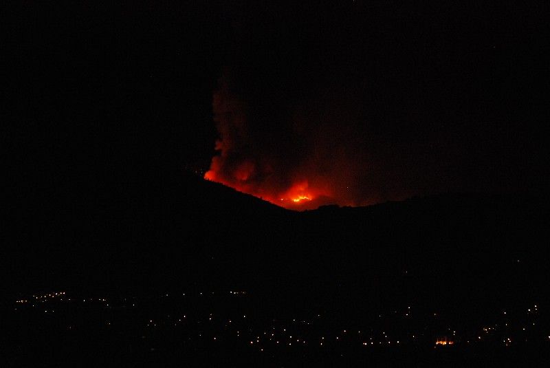
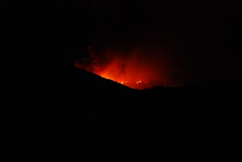
There's a lot of trees on and around Mt. Diablo. Primarily oak and pine. The big flares you see in the photos are trees.

Mr.Bill
(24,311 posts)I'll call him in the morning to see how close it is to him. We haven't heard anything, so I assume he's okay.
bluesbassman
(19,378 posts)My best to him. 
Mr.Bill
(24,311 posts)Hekate
(90,751 posts)
bluesbassman
(19,378 posts) 
Gormy Cuss
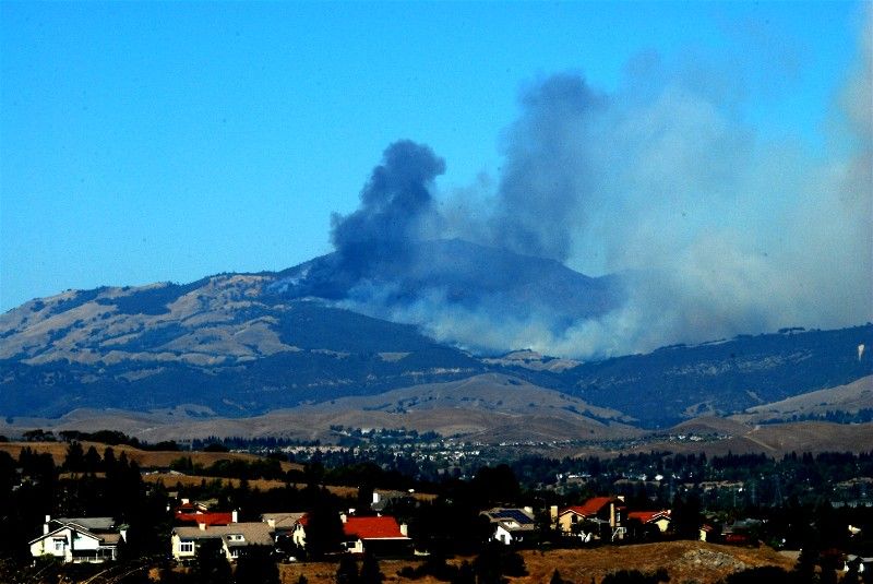
(30,884 posts)The plume was impressive when only a couple of hundred acres had burned. This morning the cloud of smoke covered the whole summit region and I could see that the fire had moved closer to the summit.
Today's going to be another nasty, hot day for those firefighters.
bluesbassman
(19,378 posts) Gormy Cuss
(30,884 posts)Last edited Mon Sep 9, 2013, 01:24 PM - Edit history (1)
and there's very little smoke odor here but yeah, not a good day to be outside.
bluesbassman
(19,378 posts)I guess the low wind is something of a blessing in fighting the fire, but the communities surrounding the mountain are breathing hard.

Xithras
(16,191 posts)I seem to recall a ranger explaining at an interpretive center that there have been over 100 documented fires on the mountain since recordkeeping began in the late 1800s, including a pair of fires in the 1930's that burned both sides of the mountain from base to peak. He explained that the winds and canyons made fires on the mountain move quickly when lit, but the natural ecology of the mountain typically allows it to bounce back quickly. Burned areas tend to recover in only a few years. It's not like a forest fire where the trees are decimated and it takes decades to recover.
bluesbassman
(19,378 posts)and that will bounce back quickly. It's down at the lower elevations that the knobcone pines get pretty tall and there are lots of coast live oak, bigleaf maple, California laurel, maul oak, blue oak and buckeye that are threatened.
Xithras
(16,191 posts)Thing is, even the lower elevations have a grassy underlayer, and that's what tends to burn. The fires on Diablo are usually fast moving, low level grass fires that simply burn under most trees without igniting them. They may burn out the occasional dead or dying tree, but it's rare for them to do any sort of long term damage to the tree cover.
The houses that now ring its base are another story altogether.
Then again, some areas of the park are seriously out of balance because of human interference, and have decades worth of unburned overgrowth built up. Instead of letting these areas burn naturally, we put the fires out, which just increases the intensity of the next fire. If this one hits some of those tinderbox areas of the park, it could certainly do some damage to the trees. In the long term however, it's beneficial to the park to let it burn and clear those areas out.
Gormy Cuss
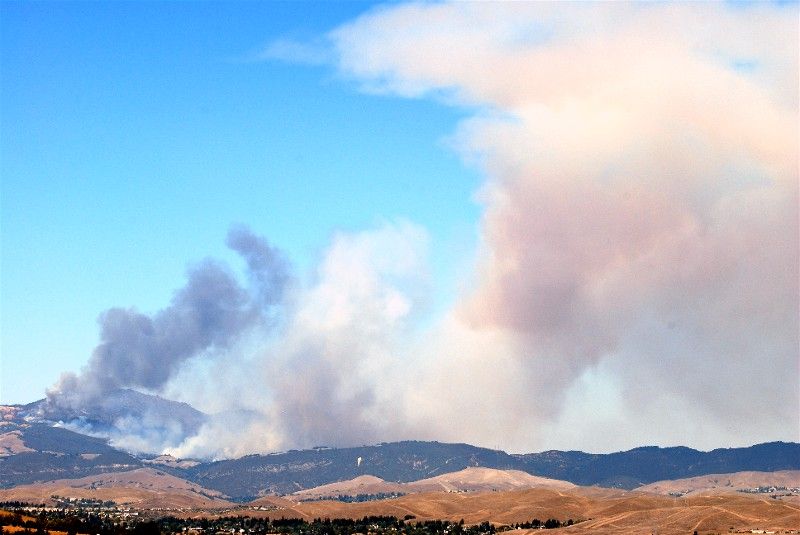
(30,884 posts)and the worst of the smoke and ash is heading south (San Ramon/Dublin areas.)
bluesbassman
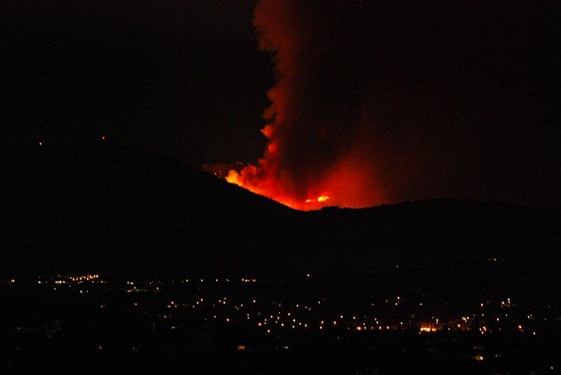
(19,378 posts)This view is from the hills above the city of Dublin and is looking over the city of San Ramon.
View of the plume as it heads south toward Livermore and the Altamont Grade.
Appears to be a Cal Fire tanker in the upper righthand section of the shot.
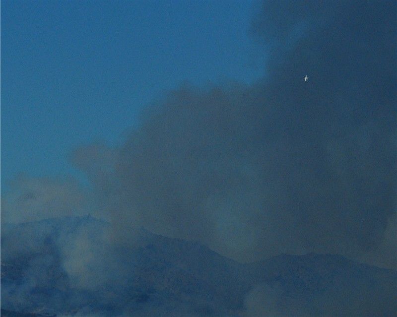
As the fire has spread, flames can be seen in the manzanita near the base of the mountain.