Democratic Underground Latest Greatest Lobby Journals Search Options Help Login
Google

On the Allegheny Portage Railroad, just read that Income 6-10 are under Construction.

Printer-friendly format Printer-friendly format
Printer-friendly format Email this thread to a friend
Printer-friendly format Bookmark this thread
Home » Discuss » DU Groups » Recreation & Sports » Bicycling Group Donate to DU
 
happyslug Donating Member (1000+ posts) Send PM | Profile | Ignore Fri Mar-07-08 02:39 PM
Original message
On the Allegheny Portage Railroad, just read that Income 6-10 are under Construction.
Edited on Fri Mar-07-08 03:04 PM by happyslug
The Allegheny Portage Railway (often refereed to as the "Old Portage Railroad"), was a series of Railroads and Incline Planes connecting the two parts of the Old Pennsylvania Canal. These railways (including ten incline planes) ran over Allegheny Mountain. The Old Portage Railway ran from about 1830 till 1854, when it was replaced by the "New Portage Railway" which was one railroad between the eastern and western canal sections. These were all sold to the Pennsylvania Railroad in 1859, which moved to close the Canals but added the New Portage railroad to its line through Allegheny Mountain. The New Portage Railway was used till the 1960s when it was closed by the PRR (It was single line compared to the PRR main line which was and is multi-lane AND Penndot wanted to build what is now US 22 on the same mountain side as the New Portage Railroad, but only intersected once with the New Portage Railroad).

Unlike the Old Portage railroad which went over the top of Allegheny Mountain at Incline #5, the New Portage railroad went through a tunnel in Gallizin (Just south of the Gallizin Tunnel where the Pennsylvania Railroad went through the same Mountain). While the New Portage Railway line is NOT in use since the 1960s, its tunnel is still in use. The New Portage Railroad line could be converted to a bike trail, but as it nears the top of Allegheny Mountain new US 22 cuts across it, blocking the old road bed. Now a series of old timbering roads connects from that point to old 22 and the old Portage railroad at about old Incline #6. Thus even today you can bike the New Portage Railroad to a point (I did so several years ago, the road bed was passable but NOT improved) on the sold the Portage Railroad and then go along either old US 22 or the old Portage Railroad to the top of Allegheny Mountain. The Old Portage railroad from the point where the old timbering roads interest it and US 22 is limited to Pedestrian traffic, so if you want to bike you have to go along old 22.

Going on old 22 is NOT that bad, it is a four lane highway, but do to the construction of New 22, is hardly used today. In fact opposite the old timbering road is an old stone bridge that took the original highway over one of the Incline planes. The old bridge is in a grassy knoll between two divided sections of old US 22 and has not been used by traffic in decades, it is a good spot to stop for a picnic before you finish climbing the rest of Allegheny Mountain.


http://www.phmc.state.pa.us/ppet/portage/page1.asp?secid=31
http://americaincontext.wordpress.com/2008/01/05/allegheny-portage-railroad-national-historic-site-gallitzin-pennsylvania/
http://www.nps.gov/alpo/

I have NO confirmation of this work (i.e. the work on Inclines 6-10) but will complete this trail between Hollidaysburg to just outside Johnstown (Where a 3/4 mile Gap exists). Most of this will be on low volume highways, of these I will write later.

Refresh | 0 Recommendations Printer Friendly | Permalink | Reply | Top
happyslug Donating Member (1000+ posts) Send PM | Profile | Ignore Tue Mar-11-08 11:15 PM
Response to Original message
1. It is clear some work is being done.
Edited on Tue Mar-11-08 11:25 PM by happyslug
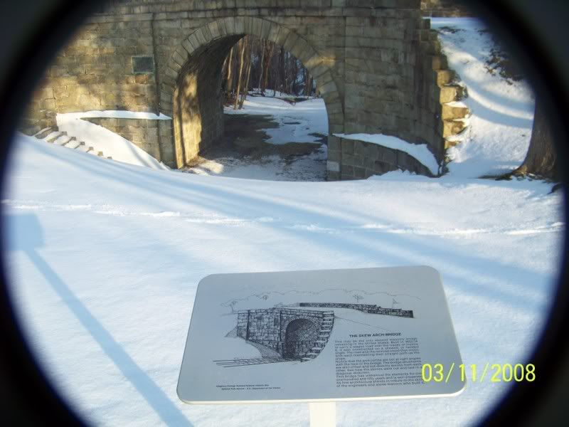
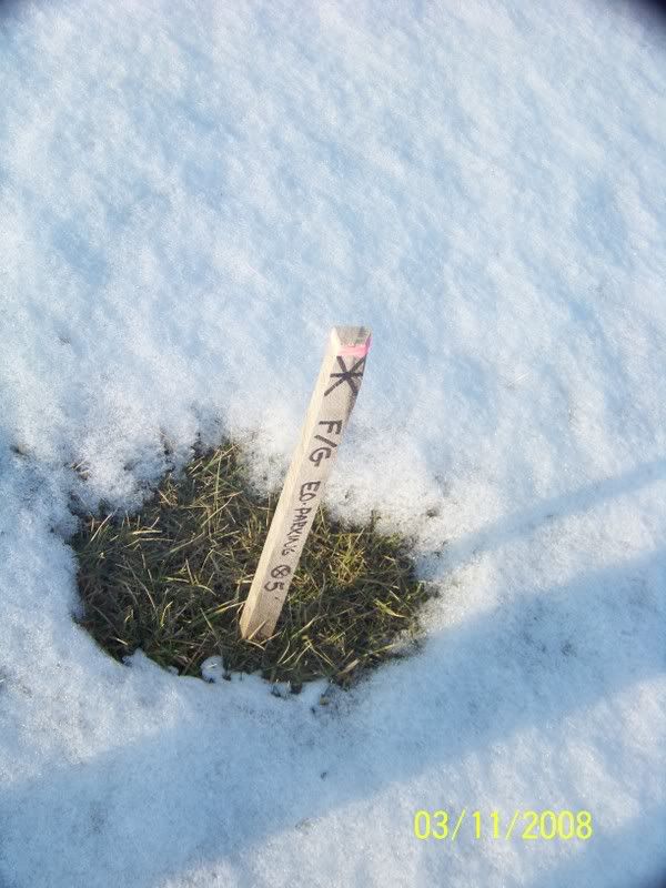
At incline #6, I saw a lot of surveying posts in front of the Skew Bridge, through NOTHING on or right by the Bridge, but survey markers less then 50 feet away. The Skew Arch Bridge:


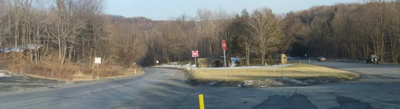
Old US 22 splits where the Skew arch bridge stands today. Prior to the 1920s the road was known as the Raystown-Huntington Road (In colonial Days as the Raystown Path). After the old Portage Railroad was abandoned in 1854, the Raystown Road continued over the Bridge. When Old 22 was paved in the 1920s it was bypassed as two narrow, but NOT torn down. Later one when old US 22 was made four lanes in this area, old US 22 was split at the bridge, the downhill side went along (roughly) the old Incline while the Uphill Section went along the old Raystown Road. Except where the road went over the old incline it remains to this day.


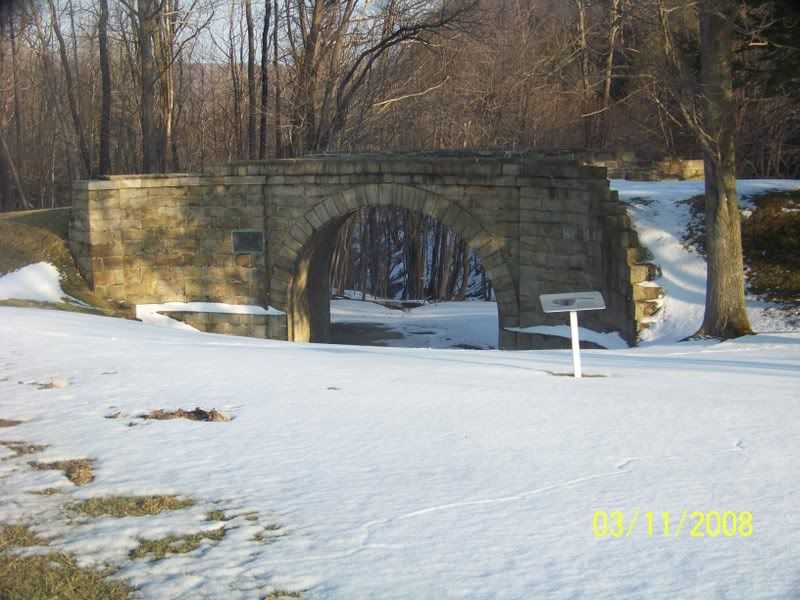
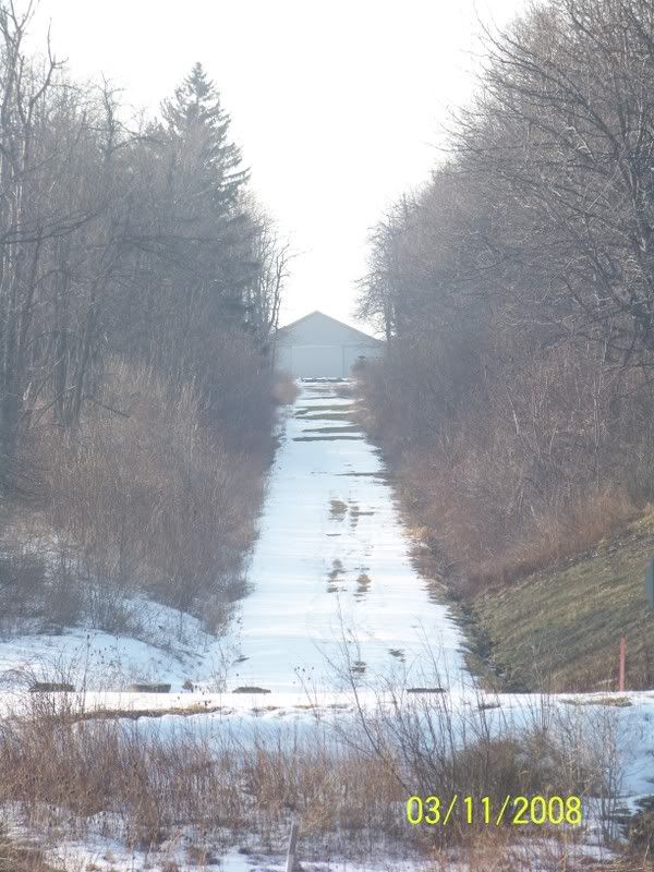
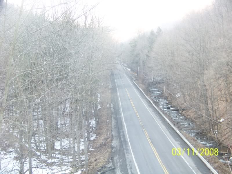
Looking uphill at the Bridge from downhill of the Bridge:


Looking uphill at the rest of Incline #6 from atop the Bridge:


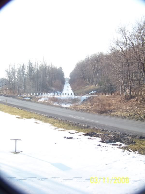
Looking downhill from the Bridge, at where Incline #6 continued down hill, now covered right now by old US 22.


Looking at the Bridge, how wagons would have approached it, after it was built to take the old Raystown Road over Incline #6:
ttp://i14.photobucket.com/albums/a318/liar1958/Bike%20Trails/Pa%20Canal/100_0172.jpg

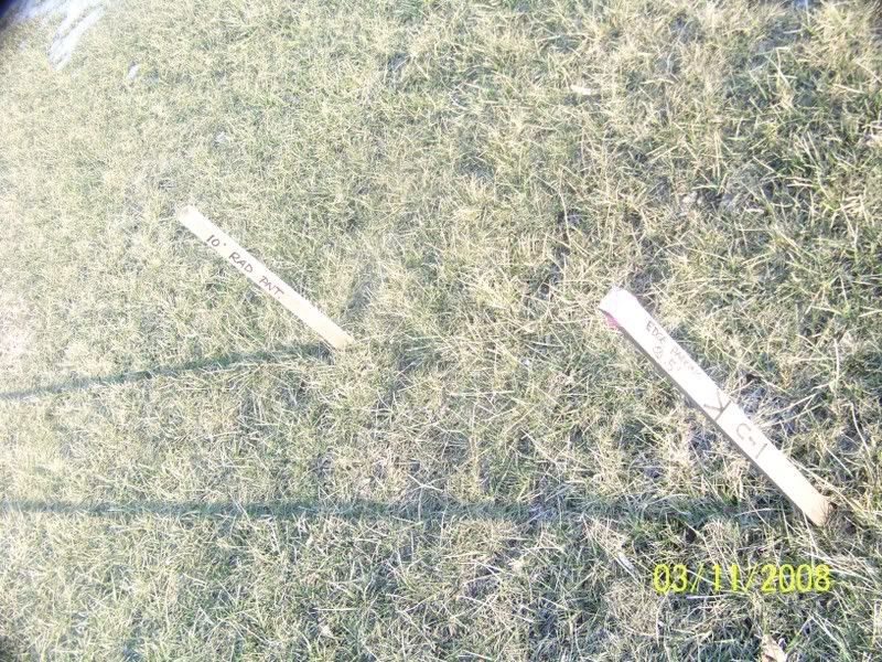
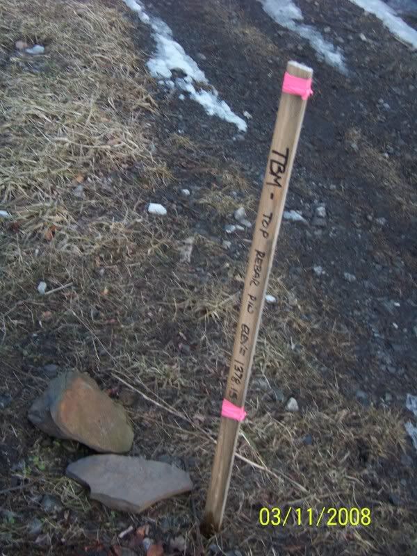
Picture of the Surveying posts:


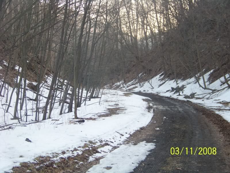
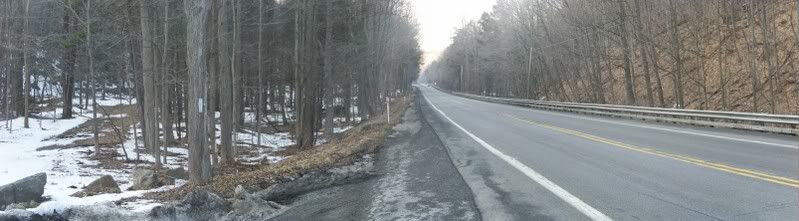
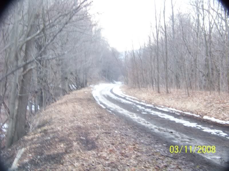
Down the side of old US 22 that goes on about where the old Incline #6 was. The Bridge took the old Raystown Road (The name US 22 was called at the time of the Canal, the US highway numbering system was NOT adopted till the 1920s):


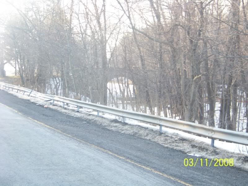
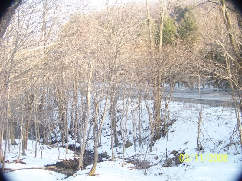
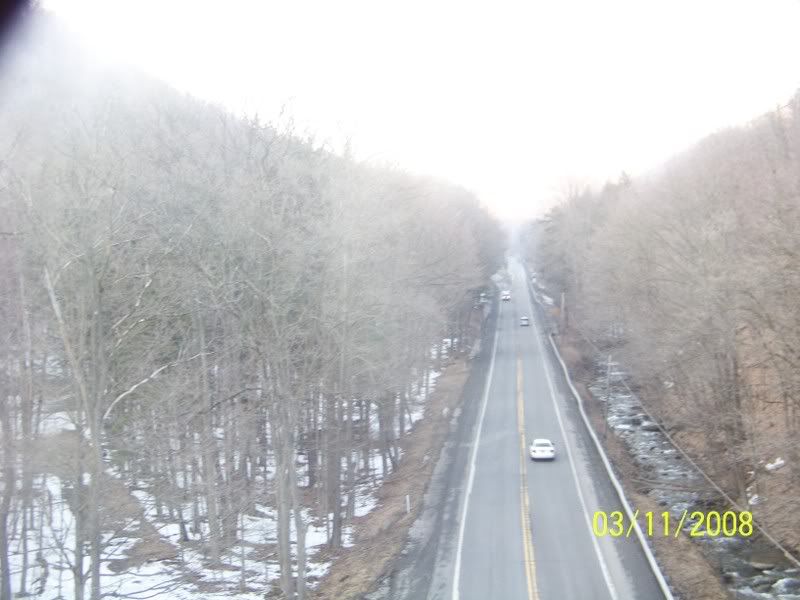
Here is the Bridge built to take the New Portage railroad (Built 1954) over the Raystown Road and the stream that made this Gap down Allegheny Mountain:


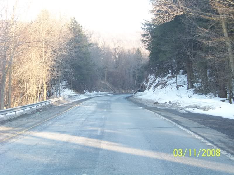
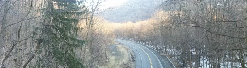
Here is the view from atop the Bridge looking down on old 22 as it goes up Allegheny Mountain:


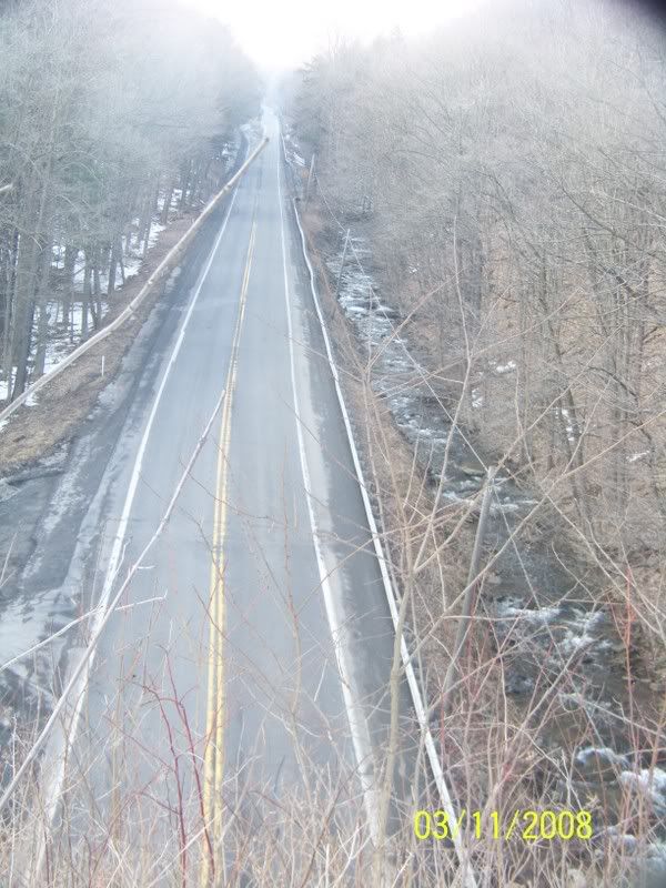
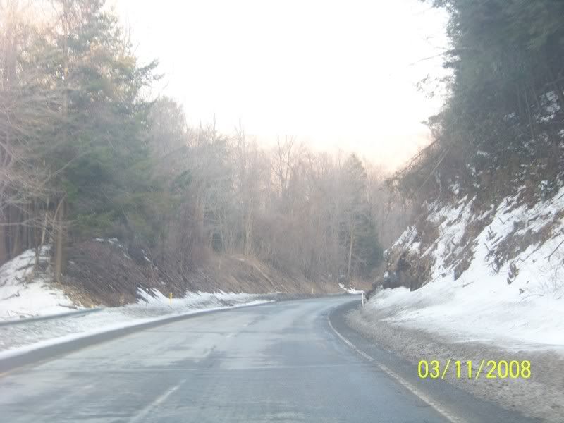
View looking on the other side of the Bridge:


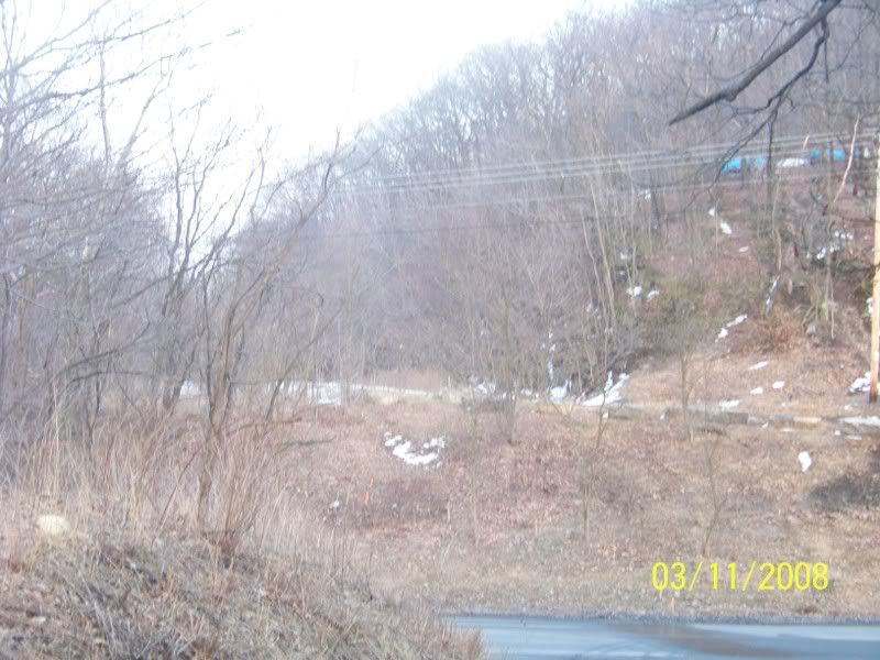
The old road bed, no improvements here, but wait:


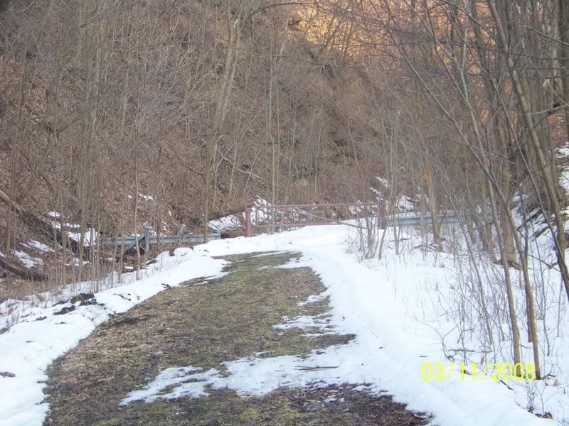
Looks like someone plowed the snow off the old road bed, probably the water authority, they have access to the road bed to get to one of their plants. The Altoona Water Authority has two dams in this same Valley. THe Dams were originally built for the canal, but later converted for use by Altoona for water supply Sorry (no Pictures of the Dams).

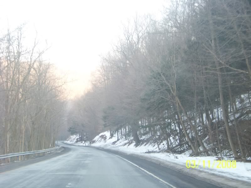
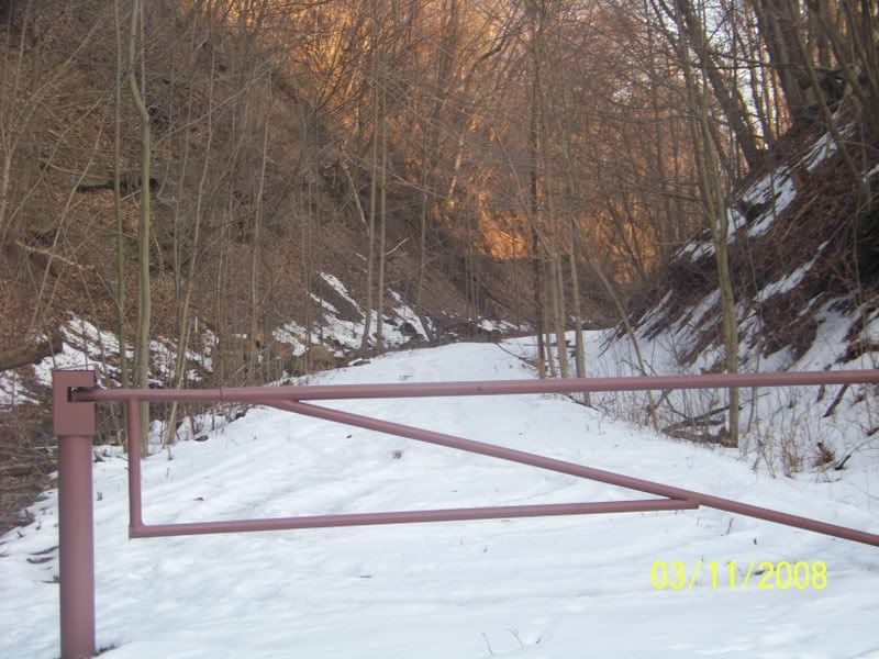
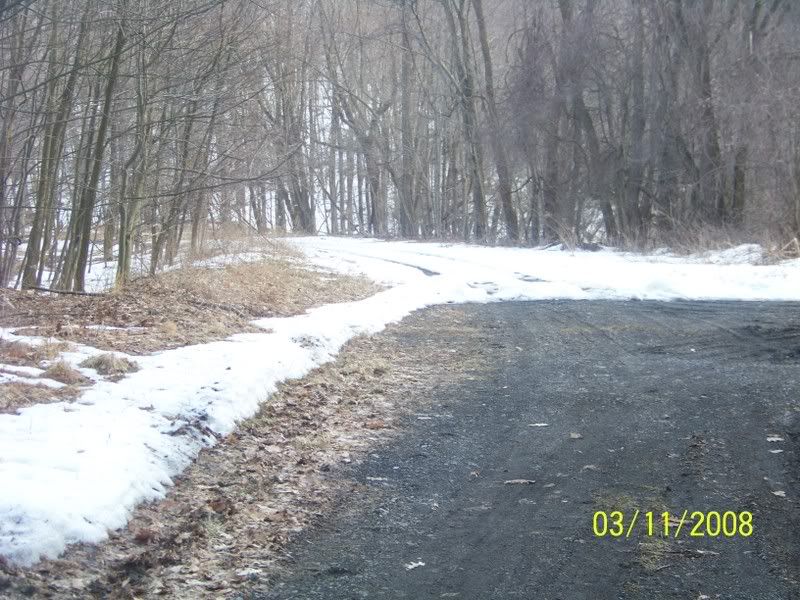
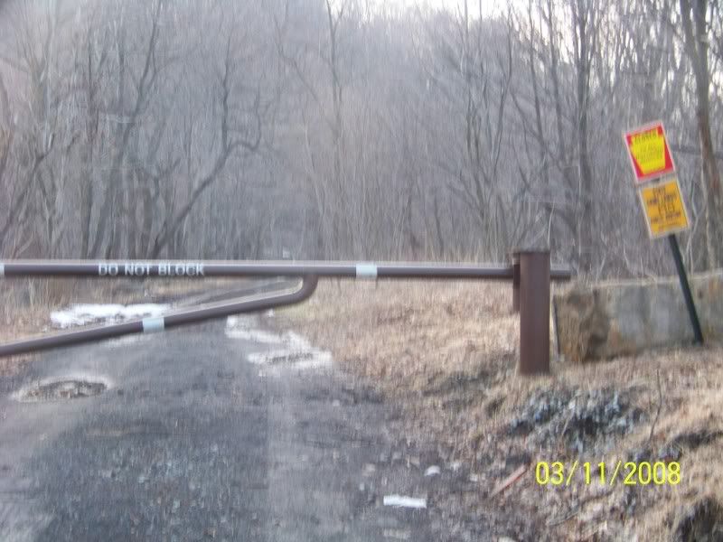
Picture of the Incline on your left and Old 22 on your Right:


I then went down the Road to "Foot of ten" this hamlet is named after Incline #10. On the Old Portage railroad I saw nothing, and no where to park so I went about another 200 feet uphill to where the New Portage railway had been and saw more Surveying sticks:


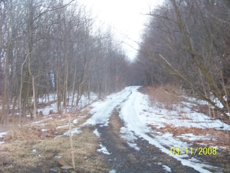
Looks like a plan to build a Bridge over the Road at this location:


The New Portage Railroad (Built 1854, sold to the Pennsylvania Railroad in 1859, abandoned sometime in the 1960s):


I went further down old 22 and came to another side-road, that took me again to the New Portage railroad and this site even had a new set of restrooms being built by the National Park Service. I took no pictures for by that time it was to dark AND the restrooms where in an area behind temporary snow fencing.

Thus it looks like they is work being done between Inclines # 10 and the top of Incline #6, but I see no work in between. I suspect the plan is just to build between Foot of Ten and #6 to complete the Eastern Side of the Portage railroad. I suspect the work will be on the New Portage Railroad till it crosses old US 22 and either up along the New Portage Railroad as it swings around the "mule-shoe" Curve (Similar to the more famous "Horseshoe Curve" on the Pennsylvania Main line and then out the road by the old Skew Bridge OR right up old 22. I suspect the Mule-shoe for it si a much easier grade to go up then old 22.
Printer Friendly | Permalink | Reply | Top
 
happyslug Donating Member (1000+ posts) Send PM | Profile | Ignore Wed Mar-12-08 09:48 AM
Response to Original message
2. Map of the Mule-shoe Curve
Edited on Wed Mar-12-08 09:50 AM by happyslug

http://www.rootsweb.com/~usgenweb/maps/pa/county/

As you can see, the Mule-shoe curve of th new Portage Railroad, climb up one side of the Mountain side along old US 22, then crosses over old US 22 and then swings back along old US 22 as it continues up the Mountain. This making the Famous horseshoe show (But called the Mule-shoe to distinguish it from the more famous Horseshoe curve of the Pennsylvania Main line.
Printer Friendly | Permalink | Reply | Top
 
Kolesar Donating Member (1000+ posts) Send PM | Profile | Ignore Thu Mar-20-08 10:00 AM
Response to Original message
3. Pennsylvania financier funded a canal on Little Beaver Creek to Massilon, Ohio
...via Sandy Creek. At that time, they saw what a success the Erie Canal in New York was and that Pennsylvania was being left out. They envisiaged that the Little Beaver and Sandy Canal would be a connection that would enable the Pennsylvania canal system to connect with the Ohio and Erie Canal.

The Little Beaver and Sandy Canal was completed and operated for one or two seasons before they had problems with the summit reservoirs. When the Cold Run reservoir broke, the canal was kaput. It did operate serving Lisbon, Ohio for a long period, though.
Printer Friendly | Permalink | Reply | Top
 
DU AdBot (1000+ posts) Click to send private message to this author Click to view 
this author's profile Click to add 
this author to your buddy list Click to add 
this author to your Ignore list Tue May 07th 2024, 01:40 AM
Response to Original message
Advertisements [?]
 Top

Home » Discuss » DU Groups » Recreation & Sports » Bicycling Group Donate to DU

Powered by DCForum+ Version 1.1 Copyright 1997-2002 DCScripts.com
Software has been extensively modified by the DU administrators


Important Notices: By participating on this discussion board, visitors agree to abide by the rules outlined on our Rules page. Messages posted on the Democratic Underground Discussion Forums are the opinions of the individuals who post them, and do not necessarily represent the opinions of Democratic Underground, LLC.

Home  |  Discussion Forums  |  Journals |  Store  |  Donate

About DU  |  Contact Us  |  Privacy Policy

Got a message for Democratic Underground? Click here to send us a message.

© 2001 - 2011 Democratic Underground, LLC